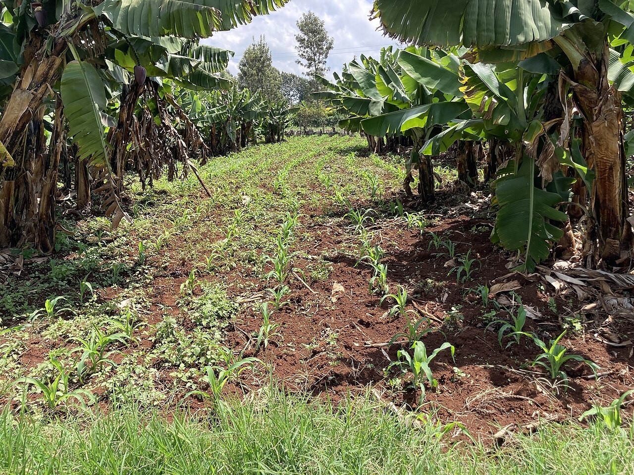
Farmers for Kenya dey get better information about the soil wey dem plant crop through programme wey join soil samples, laboratory and mobile phone. UN News report on 23 October say SoilFER don collect and map more than 3,600 samples for 45 counties, to build digital picture of soil condition for different places.
Food and Agriculture Organization and Kenya Agricultural and Livestock Research Organization dey run the programme together, with support from Japan and United States Department of State. Dem don repair and equip three laboratories to test samples. Dem link results to where dem collect each sample and send the information to farmers' phones.
This information fit help farmer know the nutrients wey one field need, instead of just believing say more fertilizer must bring bigger harvest. Farmers wey UN News interview talk about learning soil composition, acidity and fertility. The report no prove say harvest don increase everywhere or calculate savings for every farm.
Dem also train selected farmers as soil doctors, so dem fit teach other growers. That one fit carry laboratory findings enter everyday farm discussion. Correct digital map no go help much if people wey choose wetin to plant and fertilizer to use no fit understand or receive the findings.
The launch include national soil partnership, soil laboratory network and rollout of Global Soil Doctors Programme. These connections matter because collecting samples na only one part of the work. Experts still need interpret results well and make sure say farmers for different places fit get the information.
The next useful thing to watch na whether local information dey help farmers make better decisions as time dey pass. One mapped sample tell us about one location; e no guarantee one harvest size. SoilFER dey give stronger ground for farm decisions as weather dey change and pressure on farmland dey grow.