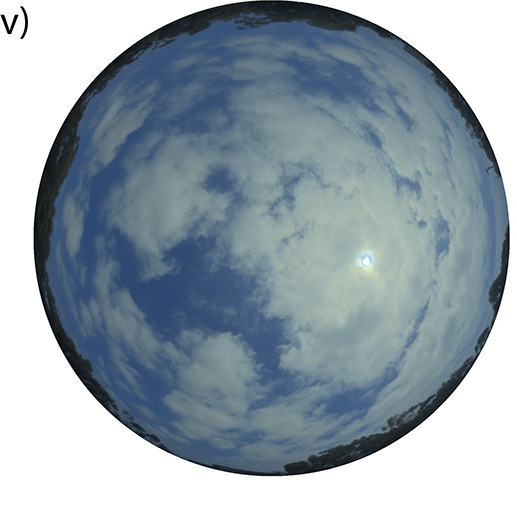
A passing cloud can shade a solar installation before a pattern is obvious in its recent readings. In a paper published on 3 November in PLOS One, researchers tested whether photographs of the sky could give a forecasting model an additional clue about what was coming. Their target was the sunlight falling on a horizontal surface.
The team used observations from Albuquerque in New Mexico in 2021 and Eugene in Oregon in 2024. At each site they matched sequences of sky images to measurements recorded at the same times. Their inputs included past sunlight readings and weather information. The data were arranged at ten-minute intervals.
A camera and a meter answer different questions. The meter can register that less light is reaching the ground now. A picture can show a cloud near the sun before the shadow reaches the instrument. The model learns how much weight to give each kind of information as conditions change.
The authors kept daytime observations with positive sunlight readings. Darkness would otherwise make it easy to get a low error score by predicting zero for long stretches of the night. They divided the records by quarter to see how forecasts held up under different seasonal conditions at the two locations.
Overall the combined approach performed better in their tests than the methods they compared it with. Accuracy generally fell as the model looked further ahead. The decline was more pronounced in the Eugene data, where the amount of sunlight varied more sharply over short periods. A camera view can improve the estimate while still leaving uncertainty about the next cloud.
What it means for you: the figures describe a forecast of incoming sunlight. They do not tell a Nigerian household how many units of electricity its panels will produce tomorrow. The tests cover two American sites. Before relying on similar predictions locally, a user would need evidence comparing them with measurements under local cloud conditions.