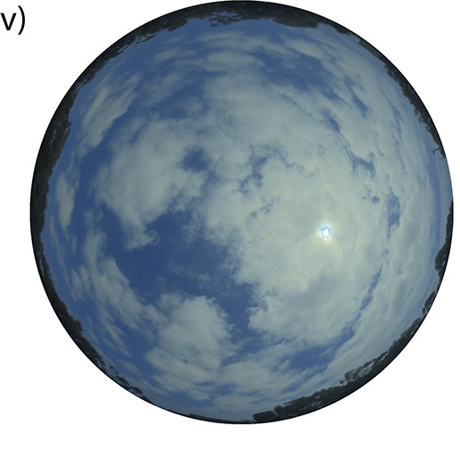
Cloud fit pass put shade on solar installation before person fit notice any pattern for the latest readings. For paper wey PLOS One publish on 3 November, researchers test whether sky pictures fit give model extra sign about wetin dey come. Wetin dem wan predict na sunlight wey dey fall on flat surface wey lie level.
Dem use observations from Albuquerque for New Mexico in 2021 and Eugene for Oregon in 2024. For each place, dem match series of sky pictures with measurements from the same times. Dem use earlier sunlight readings and weather information. Na ten minutes dey between each time for the arranged data.
Camera and meter no dey answer the same question. Meter fit show say less light dey reach ground now. Picture fit show cloud near sun before the shadow reach the instrument. The model learn how much attention to give each kind of information as conditions dey change.
Dem keep daytime observations where sunlight reading pass zero. If dem include darkness, model fit predict zero throughout plenty hours for night and look like e no dey make plenty mistakes. Dem divide the records by quarters of the year to see how forecast behave for different seasons for both places.
For the tests as a whole, the method wey join both kinds of information do better than the ones wey dem compare am with. As model try see farther ahead, accuracy generally drop. The drop show more for Eugene, where sunlight dey change sharper over short time. Picture fit improve estimate even when uncertainty still dey about the next cloud.
Wetin e mean for you: the figures concern how much sunlight go reach ground. Dem no tell family for Nigeria how many units of light their solar panels go produce tomorrow. Dem test just two American places. Before person depend on such forecast here, e go need evidence wey compare am with actual readings under local cloud conditions.