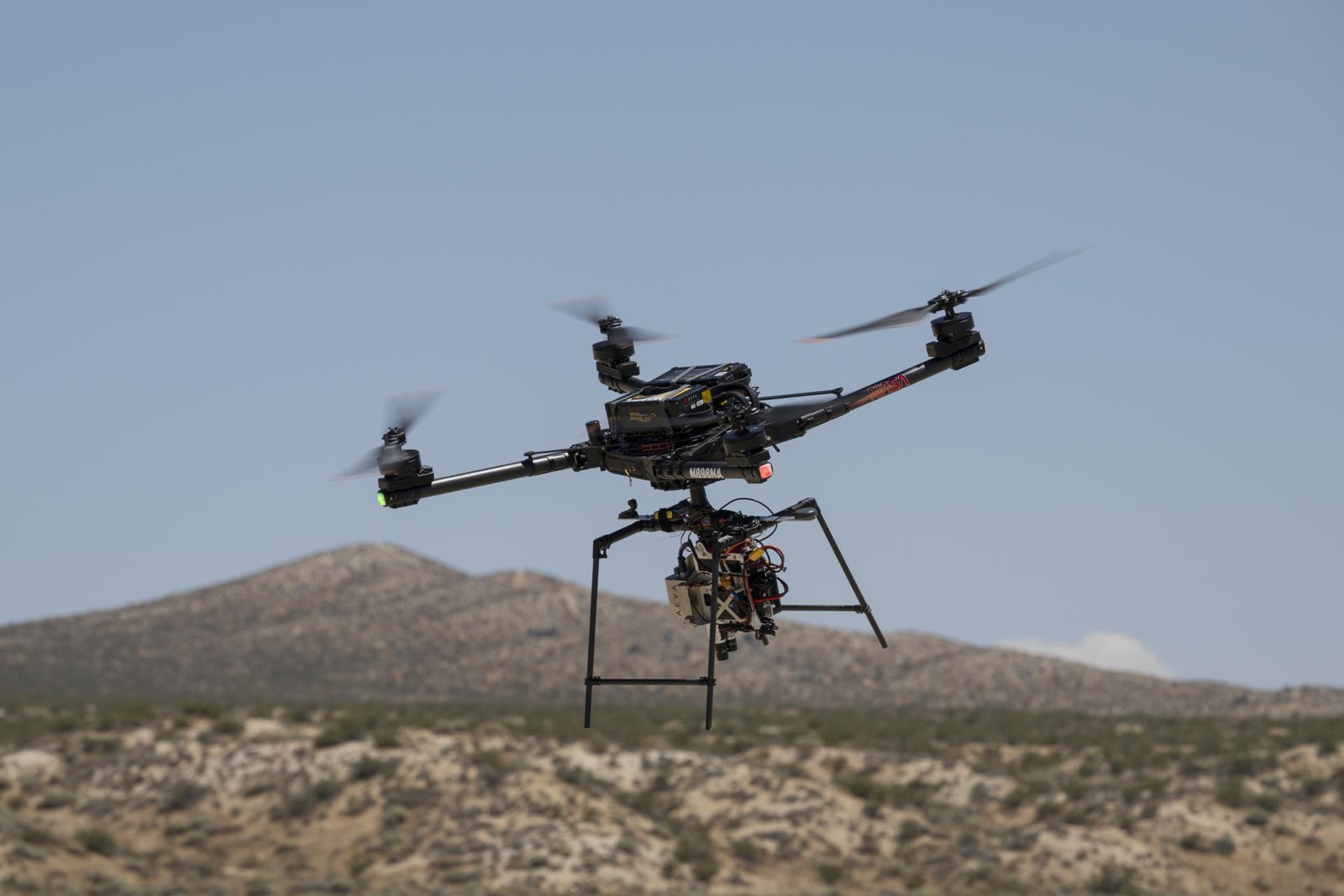
Spacecraft wey dey go surface wey e no know need more than destination. E must know where e dey, recognise danger and choose where to land. On 4 November, NASA explain progress for dis work through drone test of im SPLICE landing technology for California.
Di flight happen on 27 August for Rogers Dry Lake, near NASA Armstrong Flight Research Center. Alta-X drone carry di equipment wey dey guide am, locate am and control am through movements wey imitate descent and landing for Moon. Di November report na about Earth test wey don finish, no be new landing for Moon.
During di test, di equipment map di ground and check places wey landing fit happen. NASA say di system fit change di drone path if e judge say di original place no safe. Observation and action join here: to see obstacle only help if di vehicle fit use dat information before e reach ground.
SPLICE join different technologies; e no depend on only one camera. Di project description include laser measurements of speed and height, three-dimensional map of dangers, and computer wey process sensor readings. One navigation method compare live camera pictures with pictures wey dem already take from orbit to find position. These parts handle different landing problems.
Di project start for 2017. Earlier flights for June and July check communication and command handling between di equipment and drone. NASA say di work don make di system more ready for future missions. Dat no mean every future landing go succeed, or say di system don dey work regularly for another world.
Wetin e mean for you. Nigerian students wey follow robotics and space engineering fit learn di difference between successful test and finished service. Dis experiment show how sensors, mapping and control fit work together for real flight. Wetin dem test and measure na di value; use for Moon and Mars still need more development and integration for each mission.