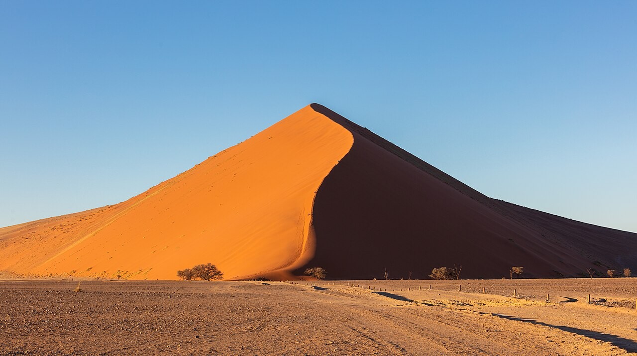
The Namib Sand Sea can look like a landscape defined entirely by dryness, yet water is essential to its story. UNESCO's official description identifies fog as its primary water source and explains how rivers and ocean currents help supply the material shaped into dunes. This is background analysis of an undated record consulted on 30 October 2026.
The World Heritage property lies within Namibia's Namib-Naukluft Park and covers 3,077,700 hectares, with a further 899,500 hectares forming its buffer zone. Those figures describe a protected landscape, not the area a visitor should expect to explore in a single outing or a promise that every part is accessible.
Its sand has travelled through a connected system: erosion inland, transport by river and ocean, then movement by wind. That sequence changes the way the dunes can be understood. They are not simply isolated piles of material beside the sea, but visible results of processes operating across a much wider geography.
UNESCO distinguishes an older, partly consolidated dune system from younger, active dunes above it. Gravel plains, rocky features, temporary rivers and a coastal lagoon add further variety. Looking only for a familiar dune photograph can therefore miss the range of forms that make the property significant.
Fog also helps explain the living landscape. Specialised invertebrates, reptiles and mammals have adapted to conditions where moisture and mobile sand create distinctive habitats. The desert's apparent emptiness can conceal ecological relationships that are less immediately visible than its ridgelines, colours and shadows.
For travel interpretation, the useful lesson is to connect scenery with the processes that sustain it. The official account identifies visitor pressure as a management issue, but does not supply today's access arrangements or conditions. Its enduring value is an explanation of why this coastal desert is both a remarkable view and a functioning natural system.