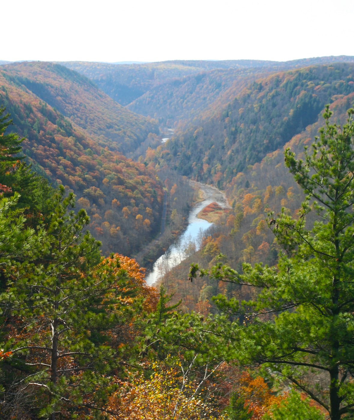
First find where Pine Creek bend before you look di trees. Di river give person one place to compare for two satellite pictures wey NASA Earth Observatory publish on 2 November. Landsat 8 look dis part of Pennsylvania on 9 October and again on 25 October. For di later picture, red and gold colours cover slopes wey still mostly green sixteen days before.
Na di same instrument, Operational Land Imager, record both views. E look down on forests of hardwood trees and oak wey also get white pine and hemlock. Na trees wey dey drop their leaves give di area those seasonal colours. No be canyon full of red rock di spacecraft snap, even though people dey call di place Pennsylvania’s Grand Canyon.
From ground e fit hard to judge how big di valley be. Di gorge stretch about 72 kilometres from Ansonia towards where Pine Creek meet West Branch Susquehanna River. E reach about 460 metres deep. Di deepest parts dey around Waterville, further along di stream.
Di river bin dey flow go north. During di last ice age, big bodies of ice move come block im road, and lakes form behind dem. Later water overflow go south. As di ice move back, rocks and sand wey remain help keep di stream for di new road. Water from melting ice flow through di valley and cut am deeper.
Di forest get history wey pass wetin di two images show. By early twentieth century, people don cut trees comot from plenty of di area for timber. Forest later grow again. For 1968, one part wey cover about 12,000 hectares get US National Natural Landmark status.
Wetin e mean for you: if person share satellite picture to show say something change, check when dem snap am and find one fixed feature for both views. Here, di October dates and di river bends help person compare di leaves. Na November NASA present di comparison.