Look for the bend in Pine Creek before looking at the trees. The river makes a useful reference point in two satellite images that NASA’s Earth Observatory published on 2 November. Landsat 8 looked at this part of Pennsylvania on 9 October and again on 25 October. In the later view, reds and golds cover slopes that had still been largely green sixteen days earlier.
The same instrument, the Operational Land Imager, recorded both views. It is looking down on hardwood and oak forests that also contain white pine and hemlock. Trees that shed their leaves supply the seasonal colours. The spacecraft did not photograph a canyon full of red rock, although the place is popularly called Pennsylvania’s Grand Canyon.
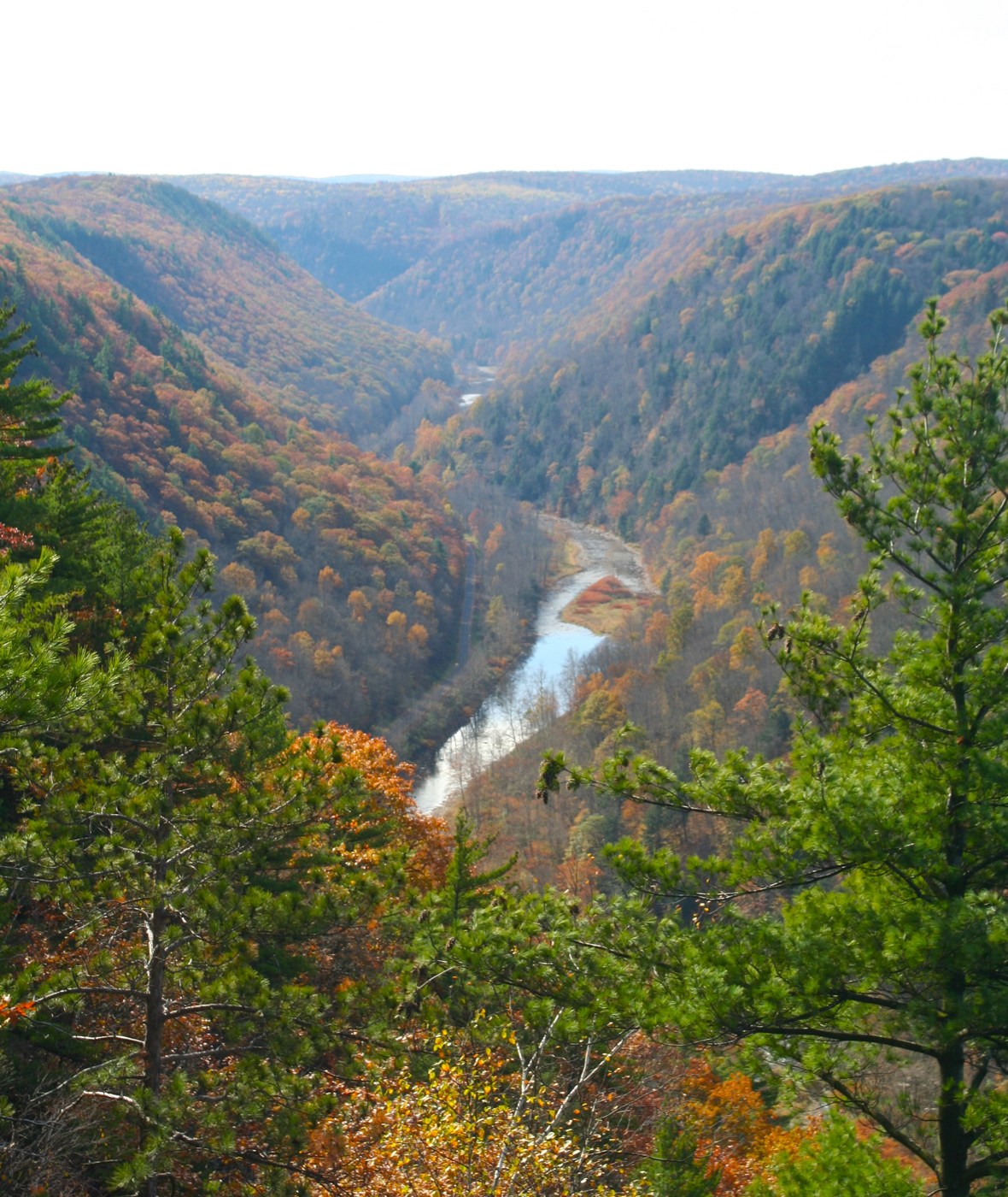
From the ground, the scale of the valley can be hard to judge. The gorge extends about 72 kilometres from Ansonia towards the meeting of Pine Creek and the West Branch Susquehanna River. It reaches a depth of roughly 460 metres. The greatest depths are around Waterville, further along the course of the stream.
The river once ran north. During the last ice age, advancing glaciers blocked its route, and lakes formed behind the obstruction. Water eventually spilled south. As the ice retreated, deposits of rock and sand helped keep the stream on that new path. Flowing meltwater did the work of cutting the valley deeper.
The tree cover also has a history longer than the two images suggest. Logging stripped much of the area by the early twentieth century. Forest later returned. In 1968 a section of about 12,000 hectares received US National Natural Landmark designation.
What it means for you: when someone shares a satellite photograph as evidence of a change, check its capture date and find a fixed feature in both views. Here, the October dates and the river’s bends allow a comparison of foliage. The November publication date tells you when NASA presented the comparison.